Page 1 of 2
new map? [closed]

Posted:
Fri Feb 16, 2007 2:49 pmby Wisse
i want a second map to work on (just in case when i w8 on replys for my china map)
i will work on my china map as much as possible, but when i can't work on my china map i would want to work on anather map
so i ask you what map do you want most (and if you have pictures of it post it

)

Posted:
Fri Feb 16, 2007 2:54 pmby for dummies
scotland

Posted:
Fri Feb 16, 2007 2:57 pmby Wisse
for dummies wrote:scotland
hmm we already have a british isles map but if more agrees with this idea i can do it

Posted:
Fri Feb 16, 2007 3:19 pmby KEYOGI
Russia?
Indonesia/East Indies?

Posted:
Fri Feb 16, 2007 3:50 pmby Wisse
Indonesia seems the nices to me with all those islands, rusia is just a big china

so mayby i will do that after china, but i don't want to make 2 maps of that at 1 time, than i am gonna be crazy

, i think i will do indonesia

Posted:
Fri Feb 16, 2007 4:20 pmby Bad Speler
careful, Indonesia is a tough map...I did a rough copy of it in my spare tme, but playability would be hard on indonesia with the amount of islands.

Posted:
Fri Feb 16, 2007 4:24 pmby AK_iceman
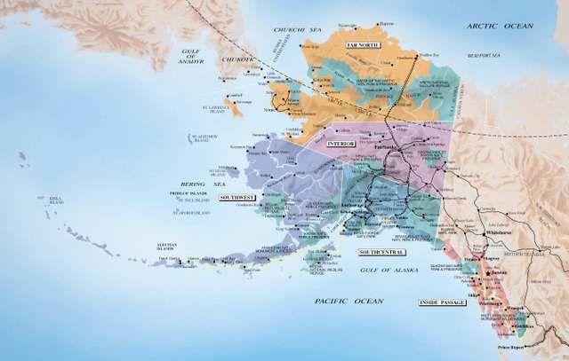
Do ALASKA!


Posted:
Fri Feb 16, 2007 4:26 pmby Wisse
nah i don't like straight borders AK
i think i will be doing indonesia, and do you have that rough map? so i can see why its difficult?


Posted:
Fri Feb 16, 2007 4:27 pmby Enigma
Wisse wrote:for dummies wrote:scotland
hmm we already have a british isles map but if more agrees with this idea i can do it
oo im all 4 scotland

Posted:
Fri Feb 16, 2007 4:28 pmby khazalid
hyrule! an ocarina of time map.
kokiri forest, hyrule city, death mountain,
you get the idea.
you know you want to

Posted:
Fri Feb 16, 2007 4:31 pmby Wisse
khazalid wrote:hyrule! an ocarina of time map.
kokiri forest, hyrule city, death mountain,
you get the idea.
you know you want to
is already someone bissy with

Posted:
Fri Feb 16, 2007 4:38 pmby Bad Speler
Wisse wrote:nah i don't like straight borders AK
i think i will be doing indonesia, and do you have that rough map? so i can see why its difficult?

Heres that rough draft..i rotated it to be able to fit it in better.


Posted:
Fri Feb 16, 2007 4:42 pmby Wisse
i actually don't see the problem.


Posted:
Fri Feb 16, 2007 4:44 pmby Bad Speler
well...I was thinking linear gameplay but im not sure if thats the case.

Posted:
Fri Feb 16, 2007 4:45 pmby KEYOGI
I attempted it as well but struggled to get something I was happy with. If you make it East Indies I think you can get away with using the Phillippines and the rest of the dead territory in that image, with perhaps the exception of the top of Australia or New Holland as it was in the era of East Indies.

Posted:
Fri Feb 16, 2007 4:47 pmby Wisse
Bad Speler wrote:well...I was thinking linear gameplay but im not sure if thats the case.
how do you mean?, you can delete some sea-routes etc.
but well i have some great comments on my china map so this has to w8


Posted:
Fri Feb 16, 2007 4:49 pmby Bad Speler
I mean the continents were sort of in a straight line.

Posted:
Fri Feb 16, 2007 4:54 pmby Wisse
you can change that bye deleting some sea-routes so some continetnst are not conected with eachother


Posted:
Fri Feb 16, 2007 4:59 pmby Bad Speler
well, it might work, but i dont plan on working on this map

Posted:
Fri Feb 16, 2007 4:59 pmby Wisse
Bad Speler wrote:well, it might work, but i dont plan on working on this map
i am if you agree


Posted:
Fri Feb 16, 2007 5:00 pmby Bad Speler
go right ahead, i have another map planned once i finish iberia

Posted:
Fri Feb 16, 2007 5:01 pmby Wisse
Bad Speler wrote:go right ahead, i have another map planned once i finish iberia
ok


Posted:
Fri Feb 16, 2007 5:11 pmby Wisse
can i use some of the borders and names you have in that map?
i will use this map, for the exact borders etc. etc. just like my china map
http://www.lib.utexas.edu/maps/middle_east_and_asia/indonesia_adm_98.jpg
but i think that would be a bit less countrys

Posted:
Fri Feb 16, 2007 5:26 pmby Bad Speler
That sems like a good map. Just one thing I'd like to point out is it seems like an old map, an in my research I have found that Irian Jaya (the eastern most point) seems to have been split up in some way. Read the first paragraph of this page for that info
http://en.wikipedia.org/wiki/Papua_%28Indonesian_province%29

Posted:
Fri Feb 16, 2007 5:28 pmby Bad Speler
and go ahead and use the borders and names in that map. Most of them are acurate, and where I just had to create a new territory (especially in the kalimantan region. I found a city there and used a river to create a border
 )
)
