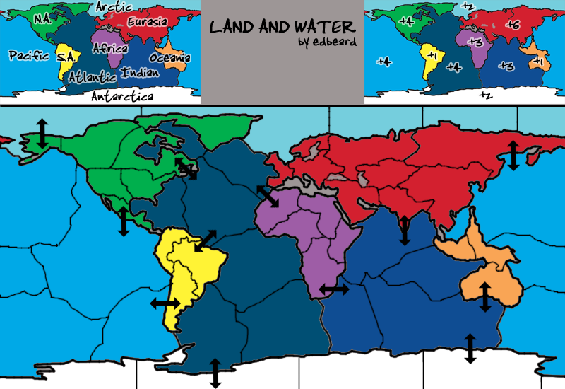
at the moment I'll say no but if by a miracle this map gets a lot of interest yet no one willing to do the graphics, I'll tough it out.
Right now I'd rather discuss gameplay. The first thing to figure out is land/water connections. As someone said, if I make all the dots (in the same general area) as connections then that's probably too many attack routes.
- Click image to enlarge.
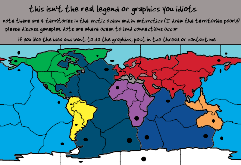
so, It'll probably be something like SE Pacific connects to Argentina but not Antarctica. While the SW Atlantic touches Antarctica but not Argentina. Furthermore, this means that the East Pacific territory would border Central America and not Colombia and Midwest Atlantic would border Colombia but not Central America.
I could go through and use that logic throughout but I'll do that later. Esp if people think it's a good idea.
Someone asked about the Mediterranean. It's not going to be in the map because size and spacing is already an issue. I don't even know if these territories are good ones or not or if I should rework some of them or get rid of some or add some whatever. I think I have 51 territories but I need to count them (if you're going to do this note that while there are 4 arctic ocean territories, there are also 4 antarctica territories (only because I screwed up the borders there) and territories in the pacific cross over the sides of the map. This will be represented by having army circles on one side and names on the other and probably a note in the legend about this too).