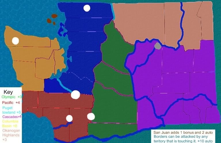
- Click image to enlarge.
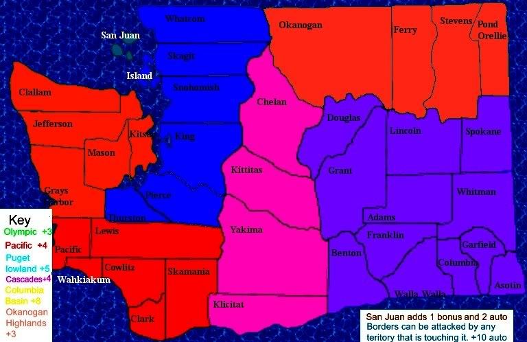
V2
- Click image to enlarge.
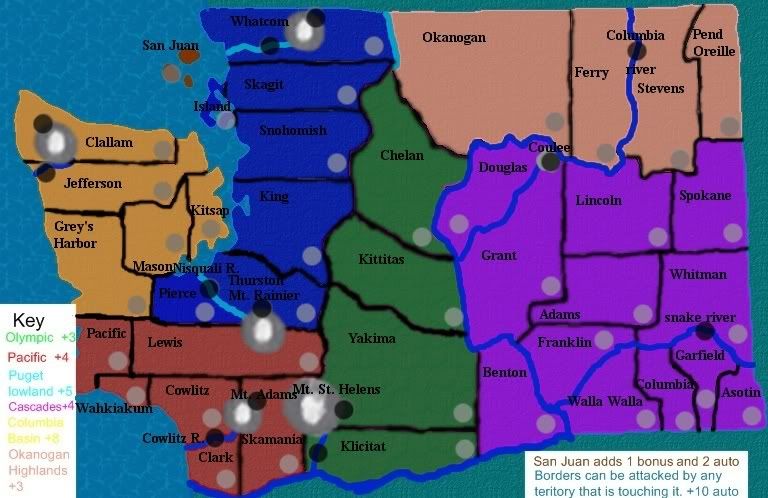
Territories:54(i think)
Continents:6
Bonus: each mountain has a river running from it. conquer the mountain and its river for a bonus. but be careful because the forces of nature are against you. You lose 2 armies per turn on a mountain and 1 per turn on a river.
The coumbia river pairs with both the snake river and the grand coolie dam.
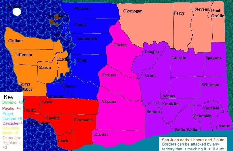
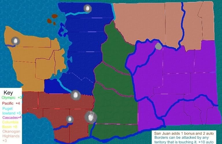
V1 sorta:
- Click image to enlarge.
Territories:44 as of now...
Continents:6
bonuses:2
you will find out soon enough
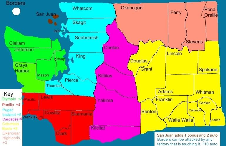
San Juan: can be attacked by borders, skagit, island, and clallam. starts with 10 neutral. +1 and +3 auto deploy.
I will not be hurt by any critiques cause i know i suck at drawing and stuff so go ahead.